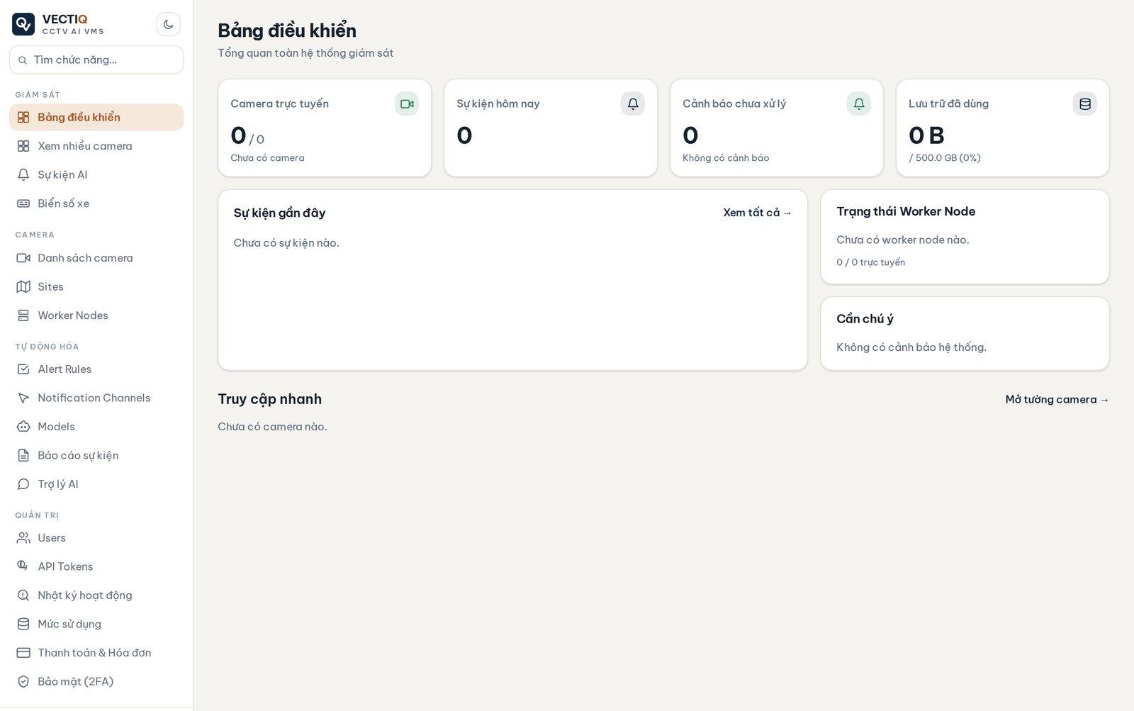
VECTIQ Vision
RUNNINGAn intelligent CCTV platform: camera ingestion, object detection, plate and face recognition, event logging and multi-channel alerting. Runs on cloud or low-cost edge devices.
NVR / VMSANPREdge AI
VECTIQ builds AI systems that survive real production — computer vision, generative AI, GeoAI — together with the web platforms, mobile apps and IoT that run them. Six product lines already deployed across agriculture, aquaculture, transport, education and enterprise.
Organised by the AI or infrastructure capability underneath, so you can go straight to what fits your problem.
Five platforms we built, run and sell as products: video management, farm operations, education-centre management, SOP training and the MLOps platform our models run on. Each one is deployed and running, not a slide.
Turning cameras and video streams into real-time intelligence: detection, recognition, tracking and alerting on cloud or edge.
LLM chatbots, multi-agent workflows and document AI that read, reason over and structure your Vietnamese data.
Satellite and aerial imagery analysis with deep learning, delivered as GIS layers and interactive WebGIS maps.
The IT backbone around our AI: web platforms, mobile apps, IoT and data infrastructure that turn models into products.
Solutions say what we can do. These are real systems, deployed and running — five of them open right below.
An intelligent CCTV platform: camera ingestion, object detection, plate and face recognition, event logging and multi-channel alerting. Runs on cloud or low-cost edge devices.

Farm and aquaculture management: growth tracking, computer-vision crop disease detection, environmental sensor readings, cultivation planning and traceability.
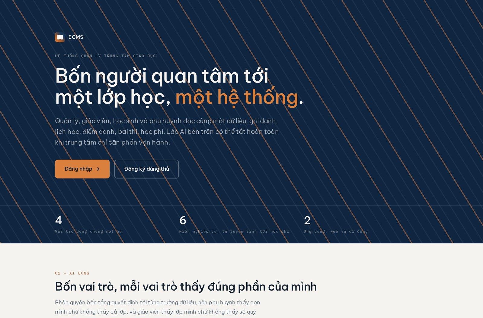
An education-centre management system: course material, automated scheduling, QR and GPS attendance, VietQR payments, and a real-time link between parents, teachers and the centre.
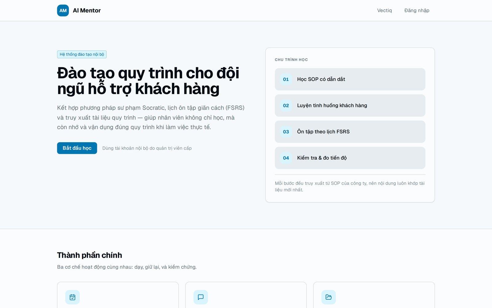
LLM chatbots, multi-agent workflows and document AI, trained on Vietnamese data. The first product in this line is AI Mentor: internal procedures turned into a tutor that remembers where each person is weak.
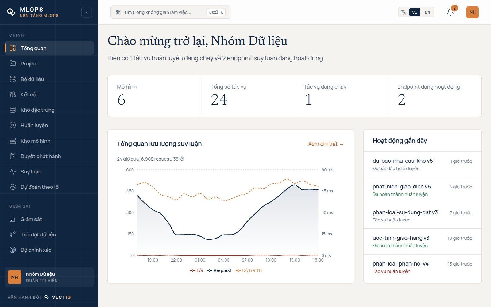
The model lifecycle platform: versioned datasets, MLflow-tracked training, a registry that blocks models below their quality bar, canary endpoints and drift monitoring on live traffic. Our geo products use it as their model layer.
Deep-learning analysis of satellite and aerial imagery, delivered as GIS layers and interactive WebGIS maps for planning and resource monitoring.
The shared foundation under the five lines above: identity, permissions, event queues, data stores and the API surface — what turns a model into a product that runs.
One object-detection model serves both a port gate and a shrimp pond. What changes is the training data and the operational workflow, not the technology.
Start small on your own data. Low risk, no vendor lock-in.
A free consultation that settles the scope and a single success metric.
A working build on your real data within two to four weeks.
Into production on cloud or edge devices, integrated with your existing systems.
Monitoring, SLA-backed support and continuous improvement alongside your operations team.
We do not stop at the model. The software, apps and infrastructure you need to run it are ours too.
Deployed on cloud and low-cost edge devices, tuned for Vietnamese data, reliability and running cost.
From discovery through deployment and beyond, the solution is tailored to your context and grows with you.
Tell us your specific case. The first discovery session is free, and it ends with a clear scope of work rather than a generic quote.