Satellite Crop Monitoring
Satellite-based crop classification and NDVI health monitoring delivering field-level insights without drones
Overview
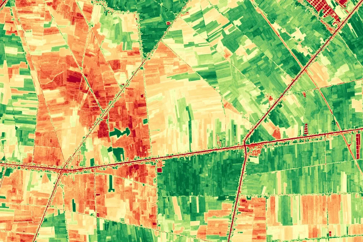
Satellite Crop Monitoring processes free, publicly available satellite imagery into actionable agriculture insights. The pipeline classifies crop types from multispectral time series, computes NDVI/EVI vegetation indices to track crop vigor across the season, and flags stress zones for targeted scouting.
Results are served as GIS layers on an interactive web map and can feed the Vectiq Field platform, enabling yield estimation and planted-area statistics at regional scale.
Interactive demo
Satellite image analysis
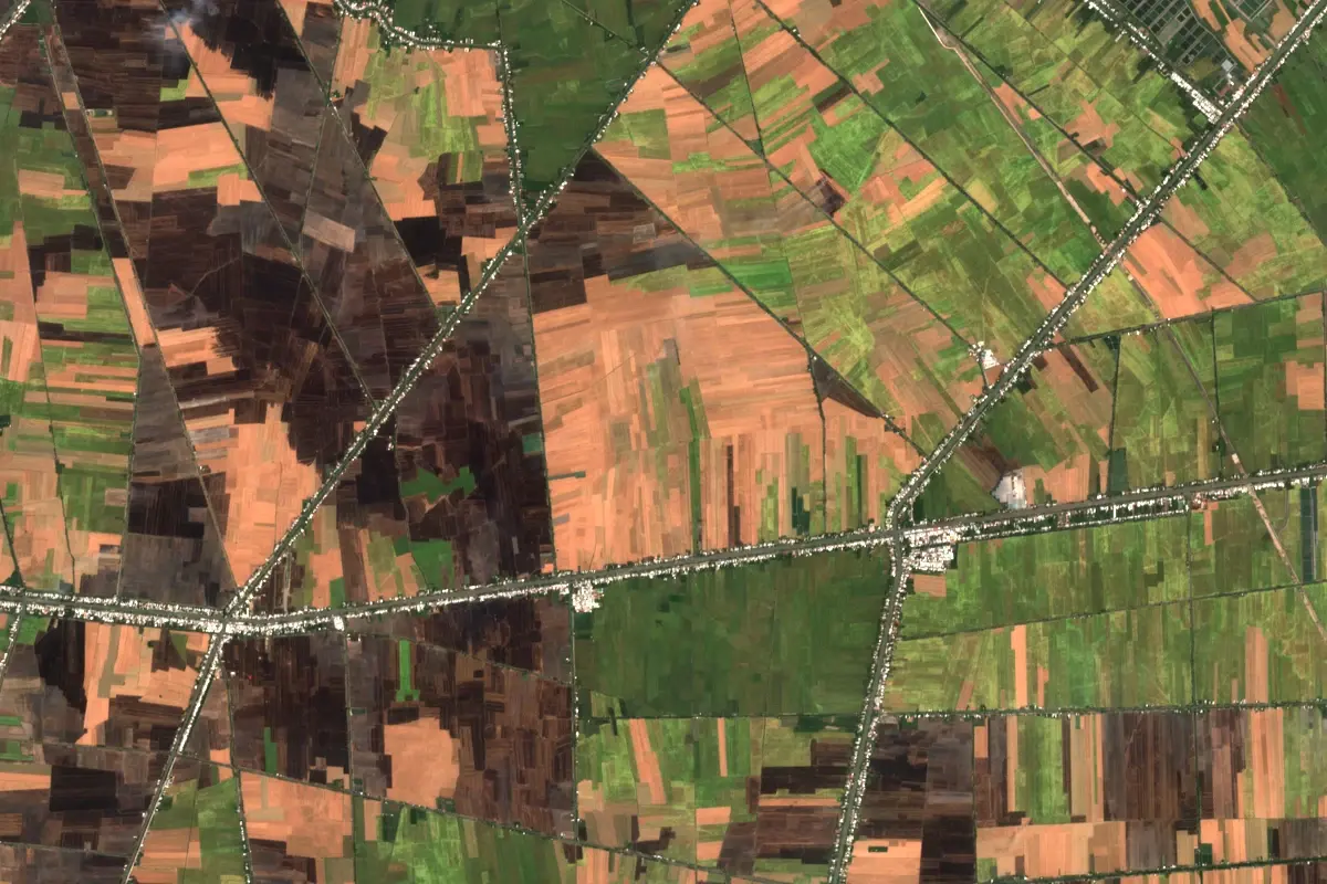
Real Sentinel-2 imagery: change comparison, NDVI vegetation index and land-cover segmentation.
Click the blinking red marker on the map to start the agents.
Imagery is real Sentinel-2; the masks and agent workflow are scripted and run in your browser. The production pipeline queries a STAC API and processes Cloud-Optimized GeoTIFFs.