VECTIQ
← GeoAI & Remote Sensing

GeoAI & Satellite Imagery

We analyze satellite and aerial imagery with deep learning to answer questions on the ground: what is growing where, how healthy is it, what has changed, and where is the risk. From satellite-imagery pipelines to interactive WebGIS dashboards.

AgricultureEnvironment & ResourcesSmart City & Transport

Interactive demo

GeoAI & remote sensing

Satellite image analysis

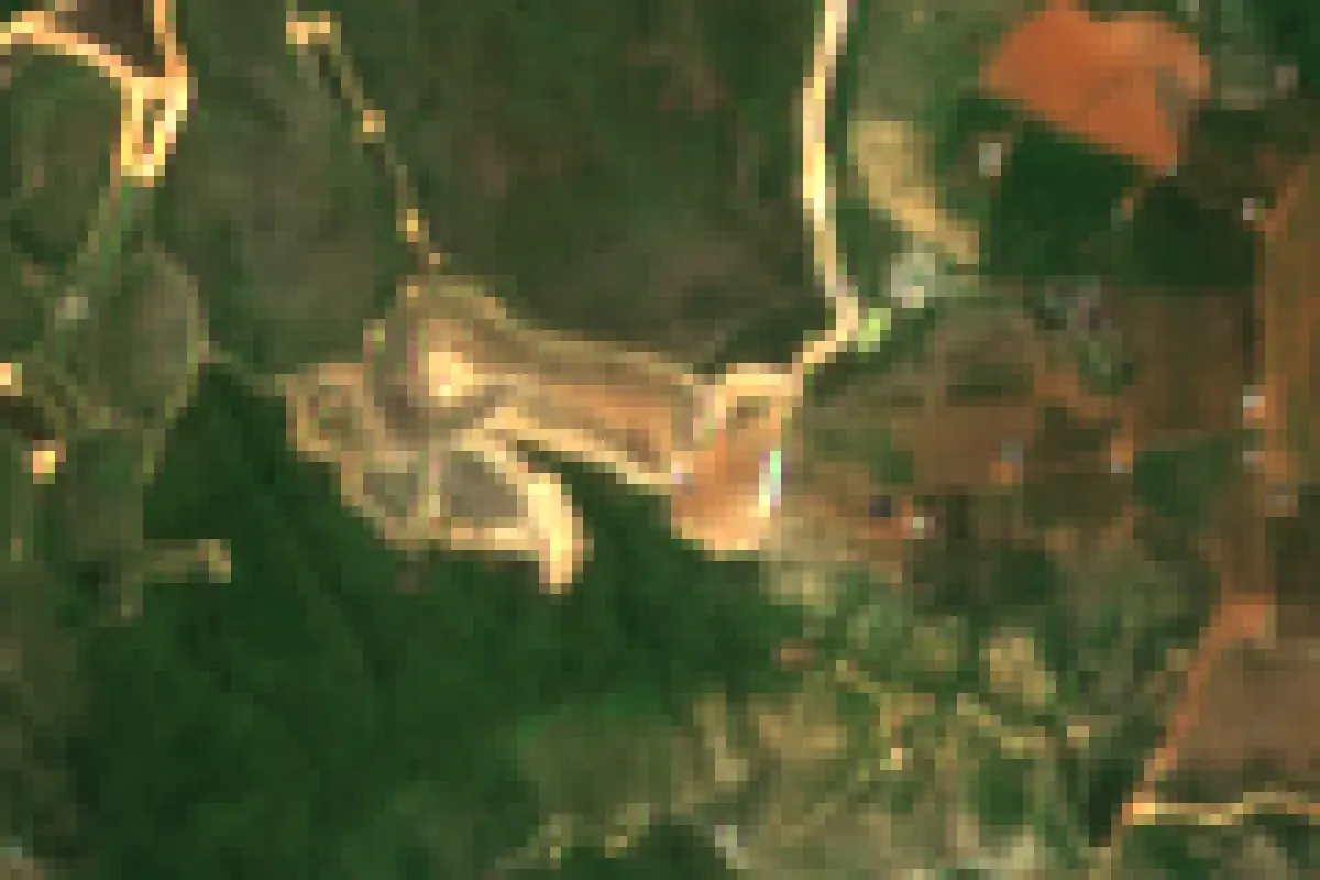
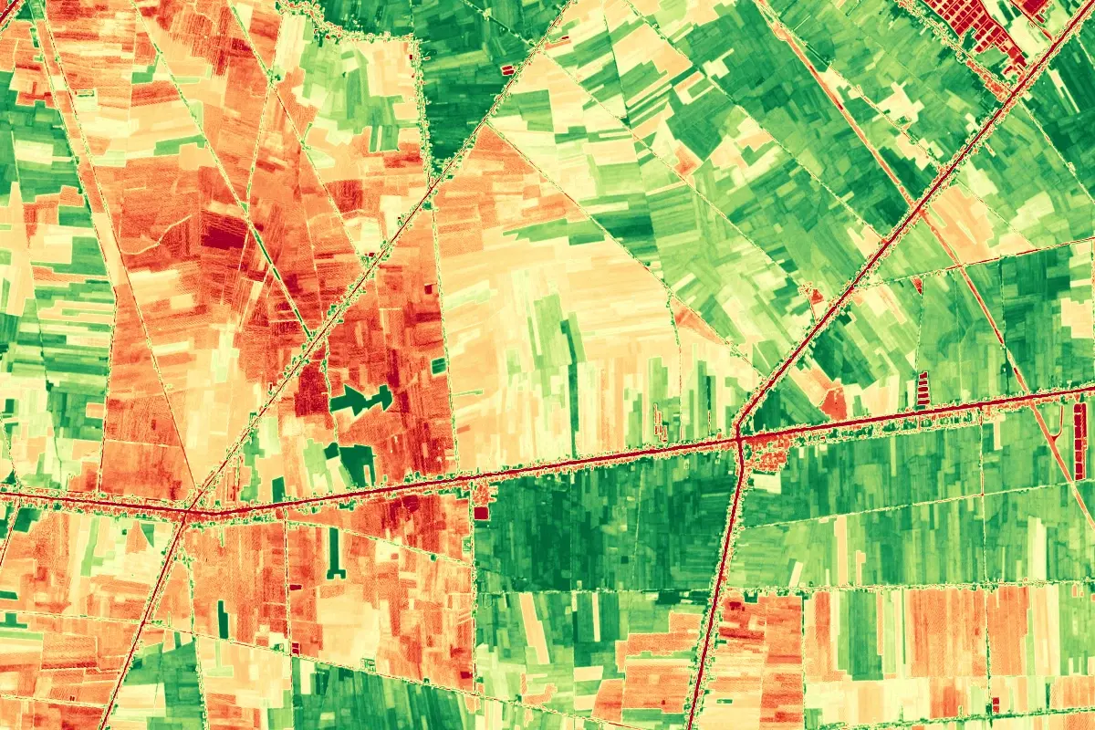
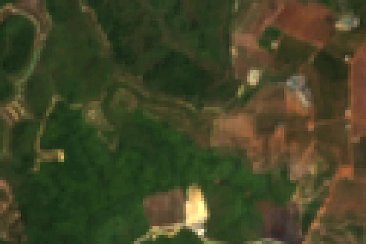
Real Sentinel-2 imagery: change comparison, NDVI vegetation index and land-cover segmentation.

Drag to compare
BEFORE
AFTER
⇆
AFTERBEFORE

Imagery is real Sentinel-2; the masks and agent workflow are scripted and run in your browser. The production pipeline queries a STAC API and processes Cloud-Optimized GeoTIFFs.

Technical capabilities

01

Crop Classification & Mapping

Identify crop types and planted areas from multispectral time series - rice, fruit trees, industrial crops.

02

Vegetation Health (NDVI/EVI)

Track crop vigor across seasons with vegetation indices, spotting stress zones before yield loss.

03

Change Detection

Detect land-use change, construction, deforestation, and encroachment between image dates.

04

Flood & Drought Mapping

Map inundated areas from SAR/optical imagery and monitor drought indicators for early response.

05

Forest Monitoring

Continuous deforestation and forest-degradation alerts for protected areas and plantations.

06

Semantic Segmentation & WebGIS

Deep-learning segmentation of remote sensing imagery, delivered as GIS layers and web maps.
Processing pipeline

01

Satellite Data

Sentinel / Landsat

02

Preprocessing

GDAL / Rasterio

03

AI Models

U-Net / DeepLab

04

GIS Layers

GeoTIFF / Vector

05

WebGIS

Leaflet / GeoServer

Deployment scenarios

Precision Agriculture

Field Intelligence from Orbit

Combine satellite indices with Vectiq Field field data to estimate yields, delineate planting regions, and prioritize scouting - no drone required.

  • Yield estimation from NDVI time series
  • Planting area statistics by region/season
  • Stress zone alerts for targeted scouting
Sentinel-2NDVITime Series
Environment & Forestry

Watching Forests and Water

Automated change alerts for deforestation, riverbank erosion, and surface-water variation over large territories.

  • Deforestation alerts with location polygons
  • Surface water and reservoir monitoring
  • Erosion and riverbank change tracking
Change DetectionSAREarly Warning
Urban Planning

Land-use Insights for Planners

Land-cover classification and construction-change detection support planning compliance and infrastructure decisions.

  • Land-cover / land-use classification maps
  • Unlicensed construction change detection
  • Urban growth analytics over time
SegmentationLand UseWebGIS

Tech stack

Sentinel-2LandsatGoogle Earth EngineRasterioGDALPyTorchU-NetDeepLabV3+QGISGeoServerLeaflet

Related projects