01
Imagery by Source and Period
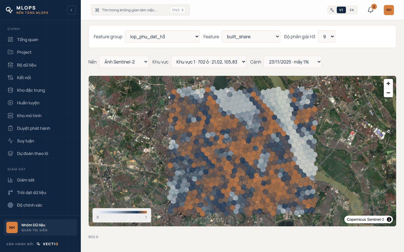
Sentinel-2 scenes, cloud-free composites by year, quarter or month, and purchased high-resolution imagery sit in one STAC catalogue. Users pick a source, then a period, the way they pick a background in an OSM editor.
02
Basemap Tiles at Every Zoom
Low zooms are pre-rendered to PMTiles, high zooms are rendered on demand by TiTiler, and Redis caches both. The vector basemap is served by Martin from our own PostGIS, with self-hosted fonts.
03
A Map Database With History
Roads, buildings, water and POIs are versioned objects with stable ids. Edits arrive as changesets with optimistic locking, releases are snapshots, and the map can be queried as it was on any date.
04
AI-assisted Editor
The Geo Editor is built on Rapid, Meta's open-source OSM editor, and talks to our map database through an OSM API facade. Model outputs show up as orange dashed candidates until a person accepts or deletes them.
05
Tasks With Consensus
Work is cut into small tasks, locked while someone is on them, seeded with gold questions and decided by weighted majority or Dawid–Skene. Decided answers go back into the map and out as training labels.
06
Three Contributor Tiers
Volunteers answer micro-tasks. Paid contractors edit the map, but only inside the H3 cells MapOps assigned them. MapOps run projects, payouts and releases. Rewards, payouts and a leaderboard are part of the system.
07
Map Quality per H3 Cell
Completeness of roads, buildings and POIs is scored cell by cell against Overture and other sources, so new tasks go where the map is weakest rather than where someone happens to look.
08
Signs From Street-level Imagery
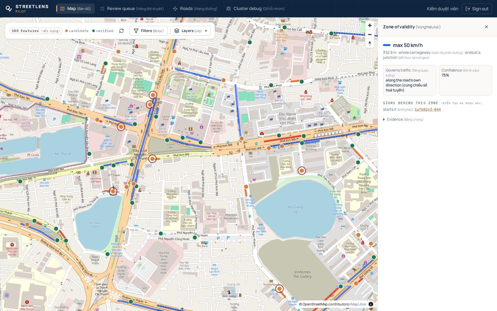
In development: traffic signs detected in street-level imagery, placed on the road despite phone GPS noise, checked by a reviewer, then resolved into speed-limit zones along each road and direction.