StreetLens - Traffic Signs From Street-level Imagery
Detects traffic signs in street-level imagery, places them on the road despite phone GPS noise, sends uncertain ones to a reviewer, and resolves them into speed-limit zones per road and direction
Overview
Sign data on Vietnamese roads is old, incomplete and inconsistent, and a map that only stores sign points cannot answer what a driver actually asks: what is the limit on this stretch? StreetLens works from street-level frames with GPS and heading.
A YOLO detector finds the signs, with its sign classes mapped to QCVN 41:2019 codes; observations of the same sign are grouped within one drive and across drives; position comes from back-projection and the noise-tolerant clustering method of AutoTS (IEEE T-CSVT 2025), and each extra pass narrows the uncertainty.
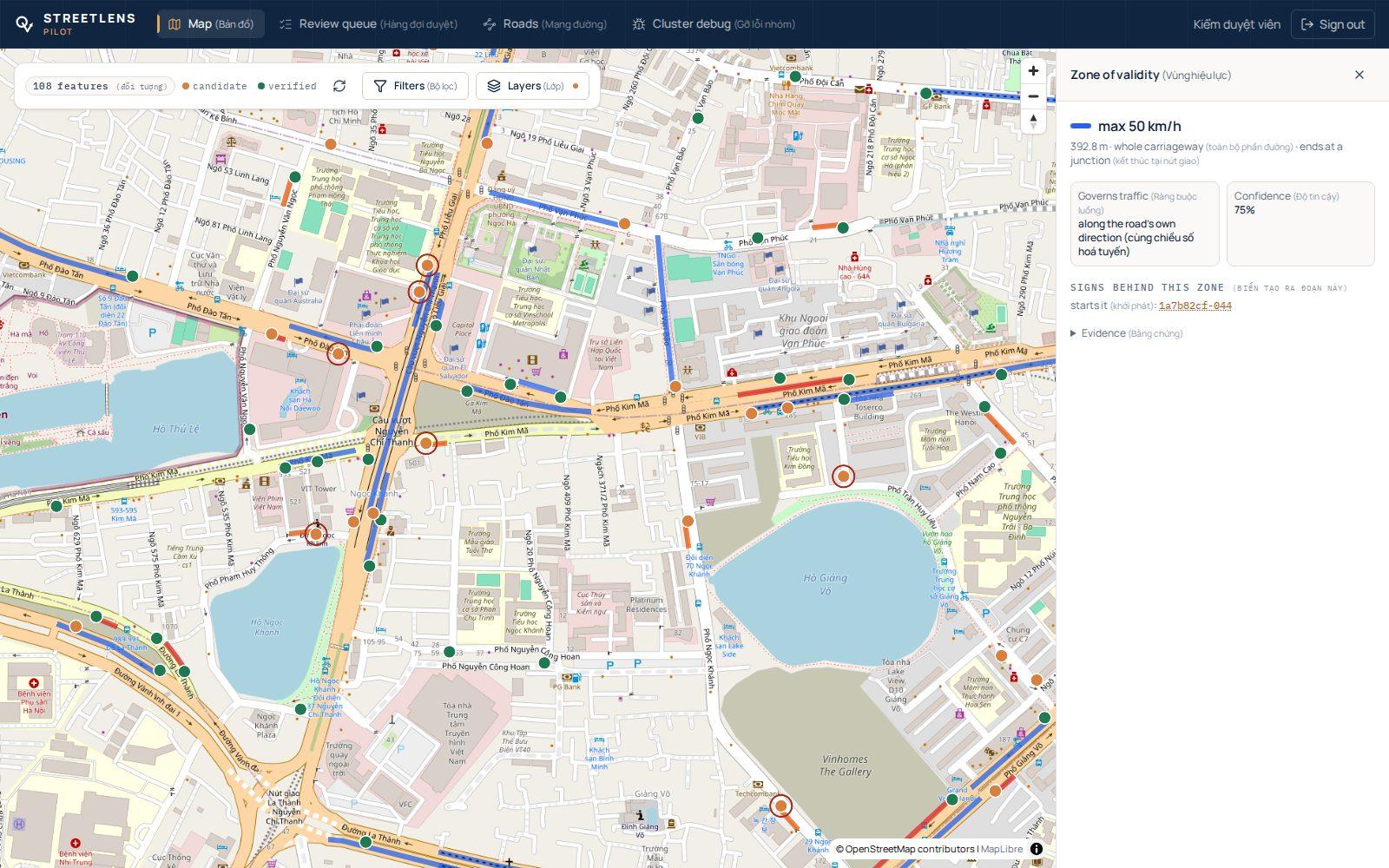
Every sign gets a facing direction and a road reference, then a confidence score: confident signs are marked verified, the rest wait in a review queue where a person sees the photo evidence and approves or rejects. A sign that drivers keep passing without seeing is retired.
A separate regulation layer turns signs into zones: a speed limit runs along the road in one direction until a different limit replaces it or a junction with a road of sufficient rank ends it, and the result can be written out as OSM-style maxspeed tags.
A crawler for public Mapillary imagery collects speed-limit sign crops for training and also records where imagery exists without a sign, so that "no sign seen" is never confused with "nobody drove here". Today the pipeline, ingest API and review web app run end to end on a development stack with real Hà Nội data. The data-collection mobile app, reading of supplementary plates and a field pilot are not built yet.