Land-use Change Detection
Deep-learning change detection on satellite imagery for deforestation, construction, and encroachment monitoring
Overview
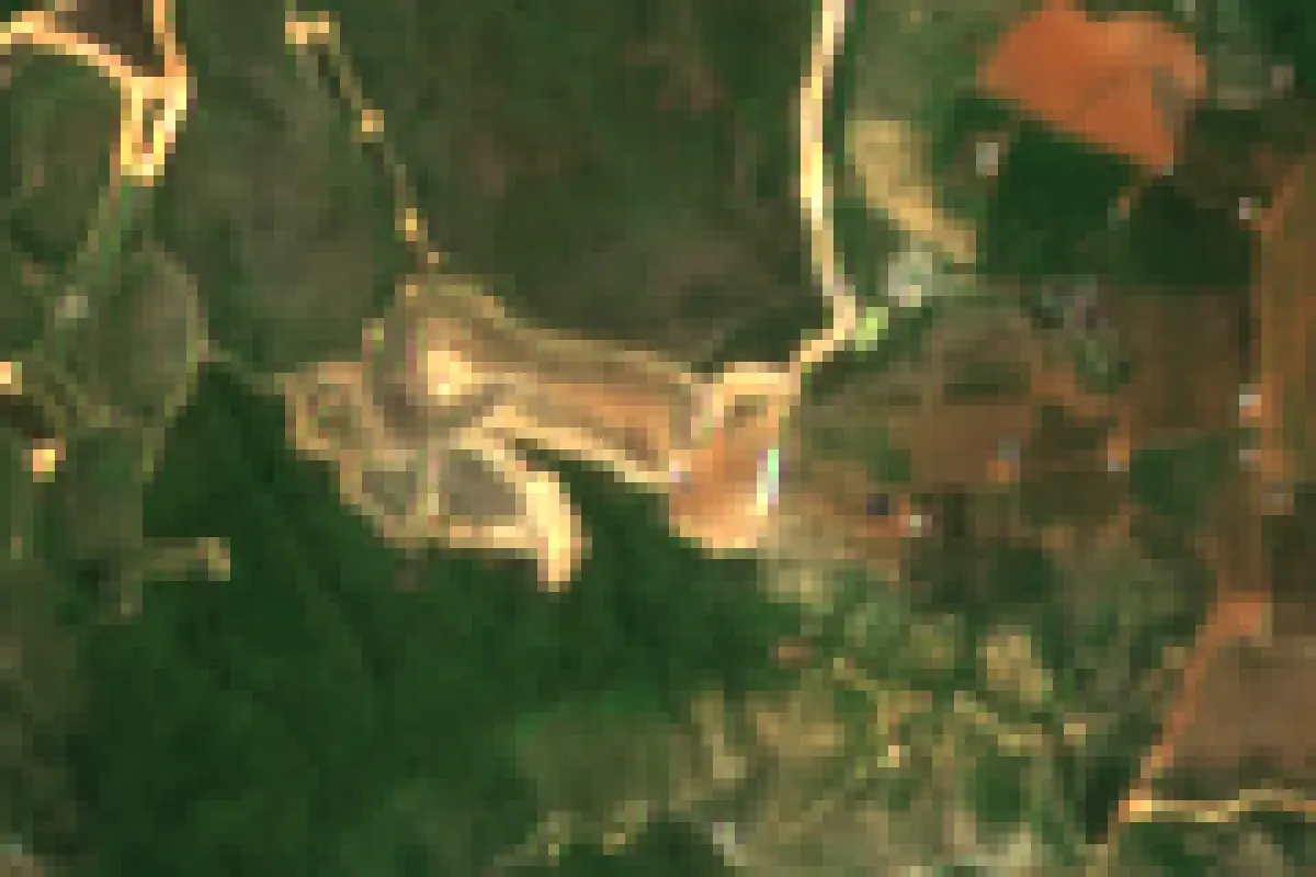
Land-use Change Detection compares satellite images across time to automatically surface what changed on the ground: cleared forest, new construction, riverbank erosion, or encroachment on protected land. Deep-learning models produce change polygons with confidence scores, which are reviewed on a web map and exported to GIS formats for authorities and enterprises managing large territories.
Interactive demo
Satellite image analysis
Real Sentinel-2 imagery: change comparison, NDVI vegetation index and land-cover segmentation.
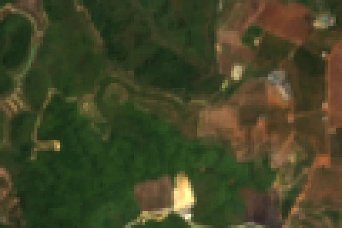
Imagery is real Sentinel-2; the masks and agent workflow are scripted and run in your browser. The production pipeline queries a STAC API and processes Cloud-Optimized GeoTIFFs.